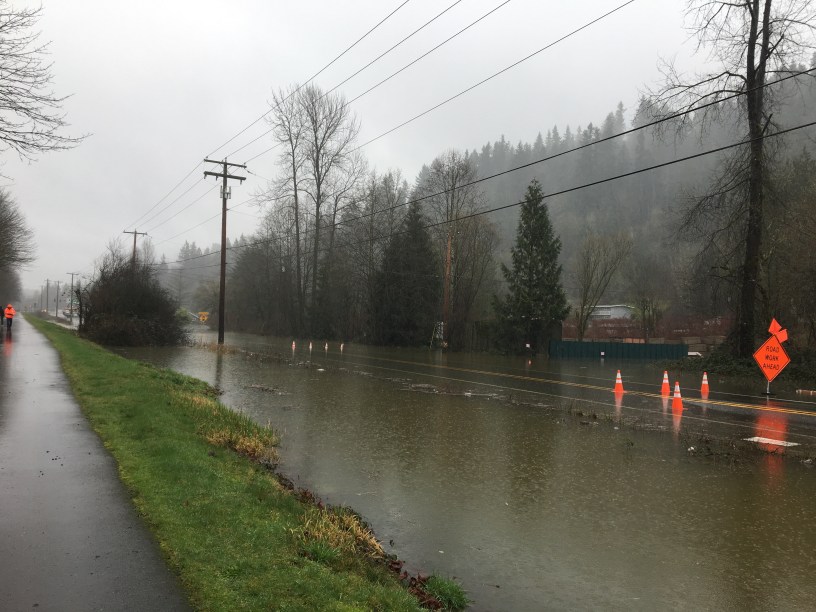
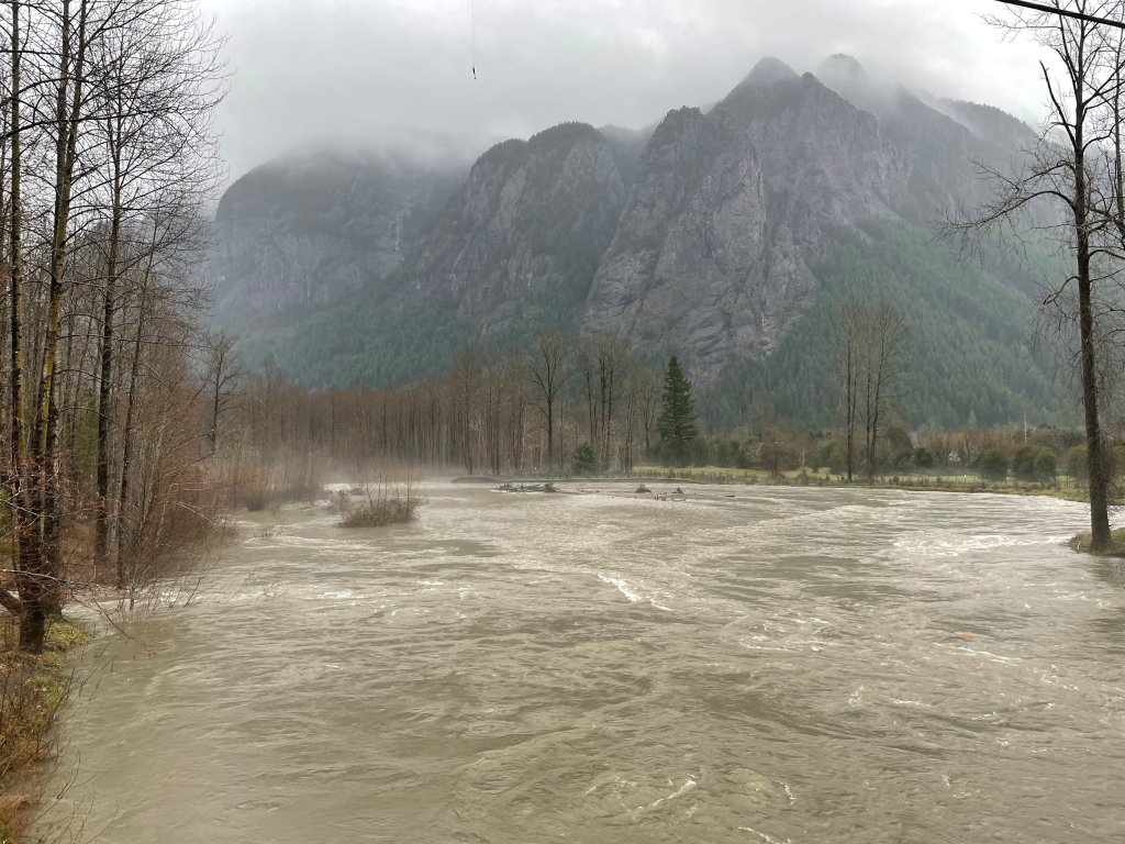
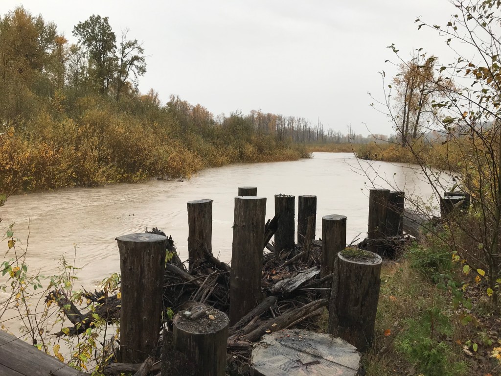
It’s rainy! The Snoqualmie River is already in flood phase 1, and there is a chance of river and coastal flooding tonight. What does a flood phase mean anyway? Read on to find out.
Flooding can happen anywhere it rains, and it is important that everyone understands the flood preparedness resources and information that King County makes available in partnership with the King County Flood Control District.
King County flood phases
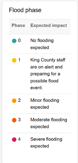
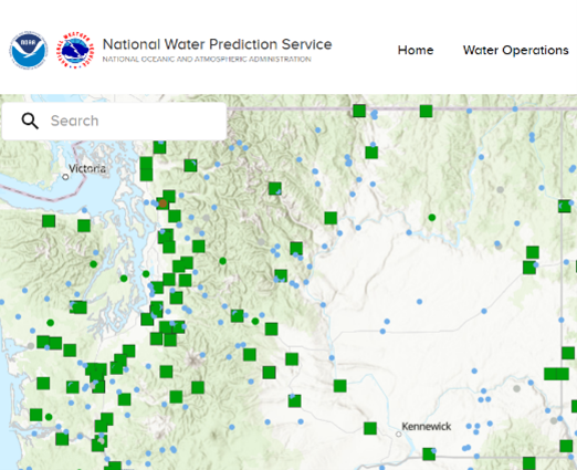
King County provides location-specific flood phases on seven waterways: the South Fork Skykomish River, Snoqualmie River, Tolt River, Issaquah Creek, Cedar River, Green River, and White River. Each river has five flood phases, defined by flow thresholds—measured in cubic feet per second for the rivers and in feet for Issaquah Creek. Each phase includes an “expected impact” statement that describes the conditions associated with that level.
The difference between King County flood phases and the National Weather Service data
One resource you may be familiar with is the National Weather Service (NWS) “Watch, Warning, Advisory.” This format provides three categorizations of weather activity and is based on NWS gauges in different locations along streams and rivers.
King County flood phases are geared toward local impacts, and the thresholds might be slightly different than the NWS system because the county’s flood phase system also looks at the upstream gauges and tracks the flow of the river itself. With the more localized tracking, King County can alert people sooner to flood phase changes.
Take advantage of flood resources based on where you live and find more specific information.
Visit kingcounty.gov/flood and to see the following resources and more.
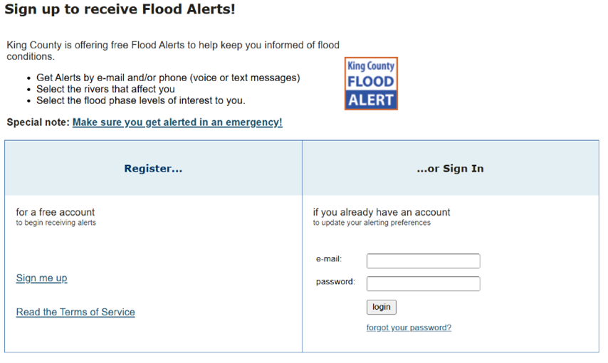
Free King County Flood Alerts
You can sign up to receive flood alerts for specific flood phases at specific locations.
If you have any questions, call the Flood Warning Center
King County flood alerts include a phone number to reach the Flood Warning Center. To stay prepared, it is important to save this number for easy access.
Phone: 206-296-8200
Toll free: 800-945-9263
- If you don’t know what something means, you can always call the Flood Warning Center and someone can explain information in a different way.
- If you want to know how a flood warning is relevant to your area, you can call to get more location-specific information.
The Flood Warning App
The King County Flood Warning App is an accessible and user-friendly resource. It is available on iOS, Android, and desktop. The app collects information from our website and has 10-minute interval tracking to create interactive graphs and forecasts.
Additional resources
To learn more about King County flood information, check out this previous blog post.
